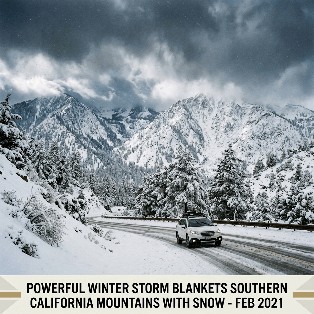
Powerful Winter Storm Blankets Southern California Mountains With Snow — 1st February 2021

Snow-covered Southern California mountains, a car on a snowy road, and text reading “POWERFUL WINTER STORM BLANKETS SOUTHERN CALIFORNIA MOUNTAINS WITH SNOW - JAN 2024”
A car navigates a snowy mountain road beneath dramatic storm clouds in Southern California.

Concise Takeaway

A powerful winter storm swept across Southern California on 1st February 2021, delivering heavy snowfall to mountain regions, disrupting travel, and creating hazardous conditions on major passes. The event marked one of the strongest early‑February storms of the season.

Storm Overview

Southern California experienced a significant winter weather event as a strong Pacific storm system moved inland, bringing:

  • Heavy mountain snowfall
  • Strong winds
  • Rapid temperature drops
  • Difficult travel conditions across higher elevations

Snow accumulated quickly across the San Gabriel Mountains, San Bernardino Mountains, and Tehachapi region, with several areas receiving multiple inches of fresh snow within hours.

Affected Areas

The storm impacted a wide range of mountain communities and travel corridors, including:

  • Big Bear Lake
  • Wrightwood
  • Idyllwild
  • Mount Baldy Village
  • Tehachapi Pass
  • Angeles Crest Highway (CA‑2)
  • Interstate 5 near the Grapevine

Drivers faced delays, closures, and chain‑control requirements as snow continued to fall throughout the day.

Travel Disruptions

The winter storm caused widespread travel issues:

Road Conditions

  • Snow and ice accumulation on major mountain roads
  • Temporary closures of steep routes
  • Chain requirements on multiple highways
  • Reduced visibility due to blowing snow

Grapevine Impact

Interstate 5 over the Grapevine — a critical north‑south route — experienced:

  • Slowed traffic
  • Periodic shutdowns
  • CHP escorts in certain sections

Motorists were urged to avoid mountain travel unless necessary.

Weather Dynamics

The storm was driven by:

  • A cold upper‑level low
  • Moisture streaming in from the Pacific
  • Strong onshore flow
  • Rapid elevation‑based temperature drops

These conditions combined to produce heavy, wet snow at higher elevations and cold rain across lower foothills and valleys.

Community Impact

Mountain communities saw:

  • Snow‑covered homes and roads
  • Power outages in isolated areas
  • School and business disruptions
  • Increased demand for emergency services

Residents prepared for continued cold conditions as the storm lingered over the region.

Safety Advisories

Authorities issued several warnings, including:

  • Winter storm advisories for mountain regions
  • Alerts for dangerous driving conditions
  • Recommendations to carry emergency supplies
  • Guidance to avoid unnecessary travel

Outdoor recreation areas also advised caution due to avalanche risks in steep terrain.

What Happens Next

Forecasters expected:

  • Lingering snow showers into the following morning
  • Gradual clearing as the storm moved east
  • Continued cold temperatures across mountain communities
  • Additional storms possible later in the week

The event served as a reminder of how quickly winter conditions can intensify in Southern California’s higher elevations.


Discover more from

Subscribe to get the latest posts sent to your email.

Leave a Reply

Discover more from

Subscribe now to keep reading and get access to the full archive.

Continue reading

Discover more from

Subscribe now to keep reading and get access to the full archive.

Continue reading